Topographical Surveys
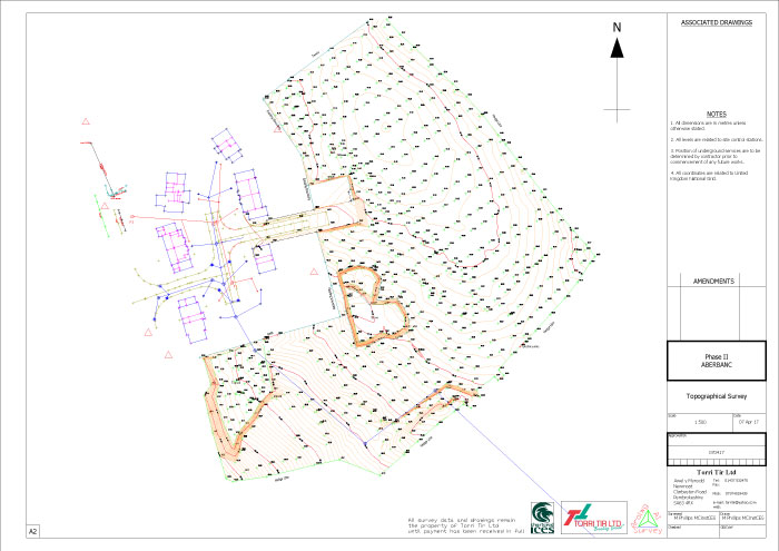
A Topographical survey is the science of measuring features on the earth’s surface, recording of coordinated data for position and height. This data can then be used to produce a 3D contoured plan or map of the surveyed area.
Architects, Designers, and Engineers use this form of data to produce detailed drawings and designs to locate buildings, roads and structures on the surveyed area.
Contact UsContact us
If you would like to get in touch with use please call us or click on the contact us button below to fill in our enquiry form.
CONTACT US